


16 innych produktów w tej samej kategorii:
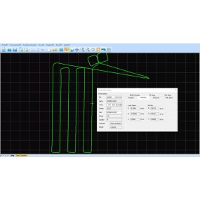

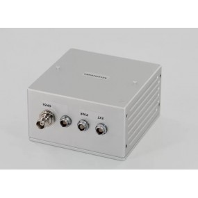
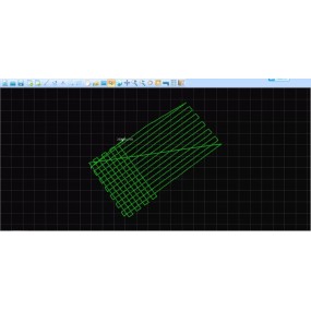
Shuttle Software with Independent Property Right Trajectory Process Software Similar with Inertial Explore & Pospac Software Shuttle is a high-precision GNSS/INS positioning and attitude...
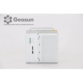
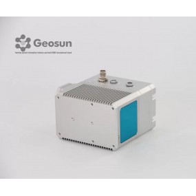
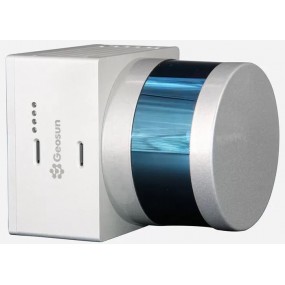
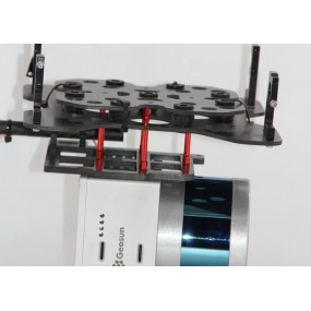
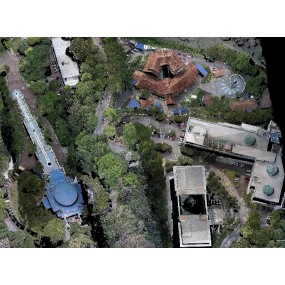
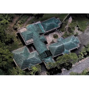
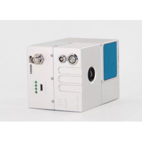
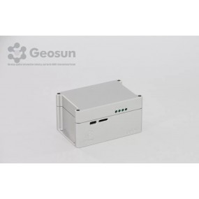
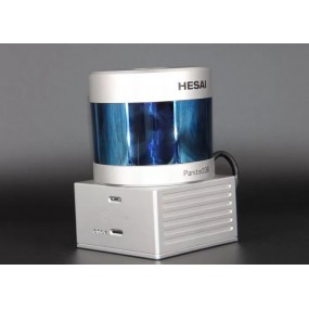
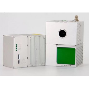
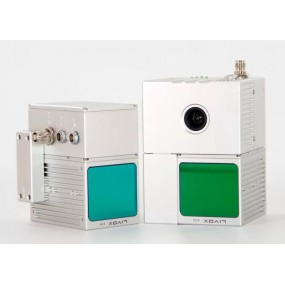
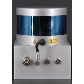
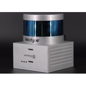
gAirHawk GS-130H UAV LIDAR SCANNING SYSTEM UAV LiDAR Scanning System with Livox Horizon Laser Sensor gAirHawk GS-130H New Designed is a kind of short range, compact LiDAR point cloud data...
error Chwilowo nie możesz polubić tej opinii